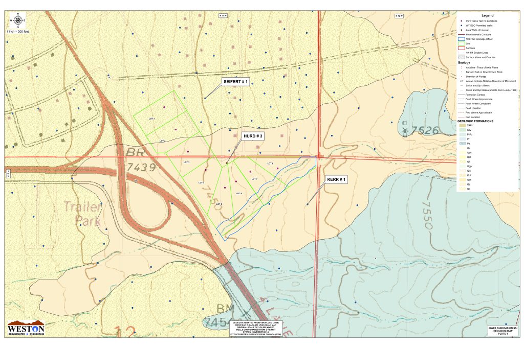
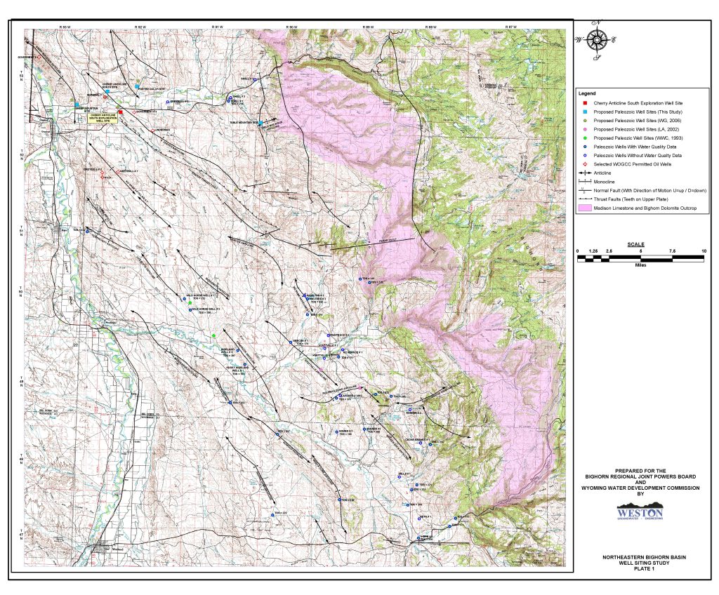
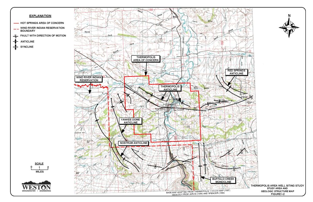
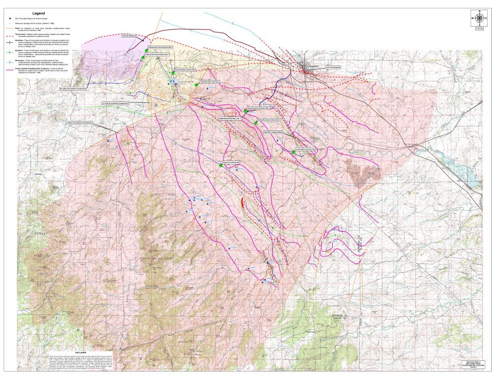
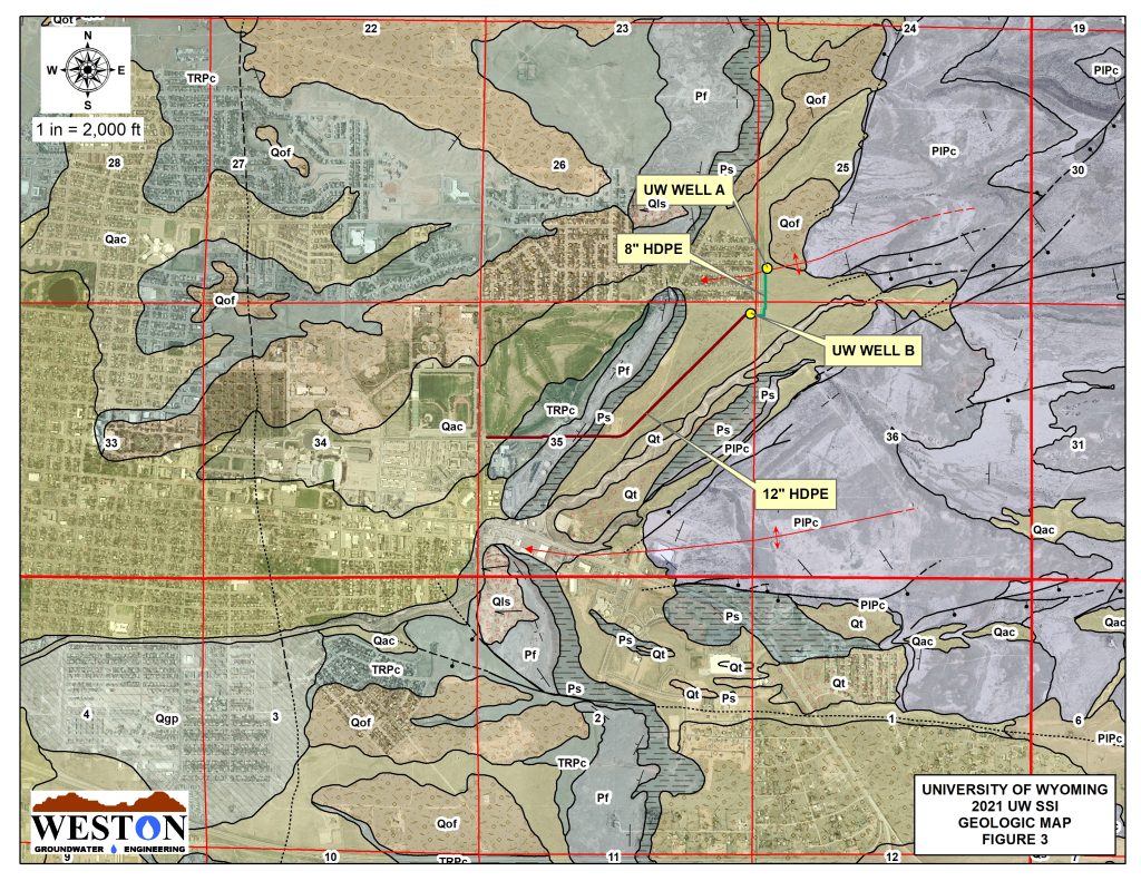
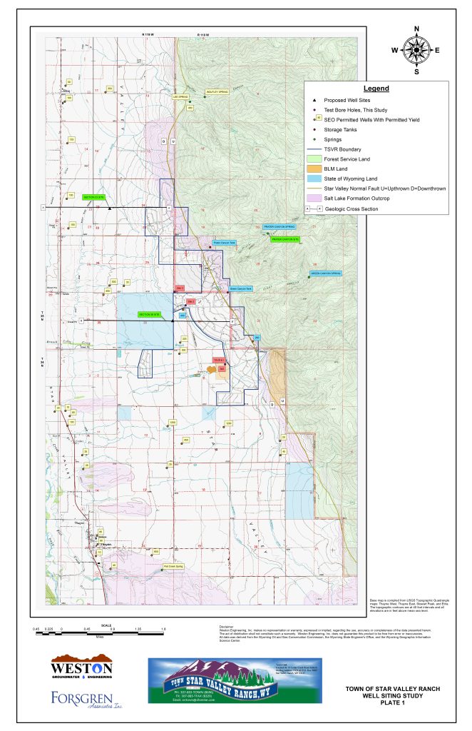
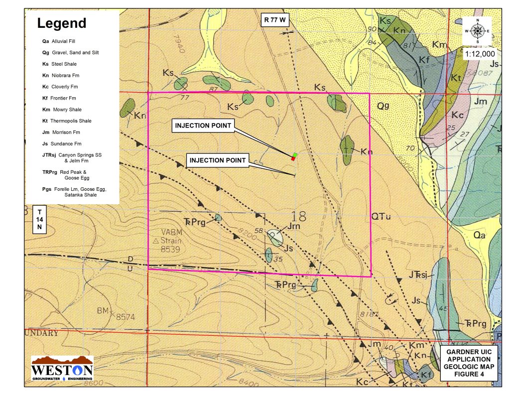
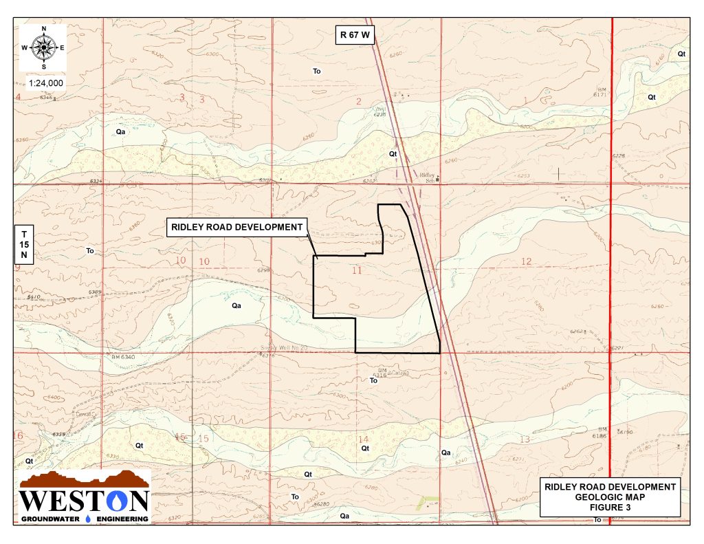
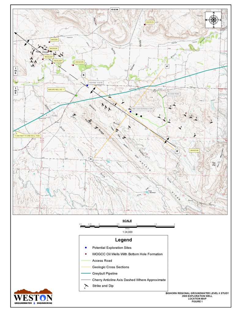
Weston Engineering offers standalone or complimentary GIS services based on client needs and project goals. GIS tools are a valuable way to manage geospatial data, including underground infrastructure. GIS operations are a critical tool for management of geologic and hydrogeologic assets.
- Topographic Modeling
- Spatial Analysis and Geospatial Statistics
- Multiple Criteria Overlays
- Aerial Imagery
- Geographic Analysis
- Geologic Mapping
- Hydrological Mapping
- Resource Management
- Data Development and Management
- Custom Geodatabase Development
- Environmental Assessment Mapping
- Asset Inventories
- Web Mapping
- Custom Maps and Cartography
- CAD & Hardcopy Data Conversion
